5. Oct, 2021
The Immeasurable Wilds. What my book is about (Part One).
The title of my book is a quote from Sir Walter Scott. I was tempted by another title, The Land of Rocks and Rudeness which incorporates a quote from the geologist, John MacCulloch, but it was pointed out to me that, although MacCulloch had in mind the rudeness of the landscape, it might be thought that it was referring to the behaviour of the people of the Highlands. Nothing could be further from the truth: virtually every account that I studied remarked on the extreme generosity of the native population there.
My text starts with an overview of how the region of the far north-west appeared at the end of the 16th century, and covers the surveys of the early cartographers, in particular those of Timothy Pont and Alexander Bryce. The latter's map of the North Coast, published in 1744, was an important one, for the basic outline was by no means settled, and for some 100 years the Cape Wrath headland had been confused with that of Faraid Head, and the two separate areas united as one. Bryce's map was still being praised for its accuracy in the 19th century.
Later Cartographers
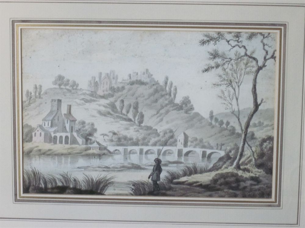
Soon after Bryce's map had been published, another remarkable piece of cartography was completed, though this was never published. General Roy's Great Map of Scotland was a military survey, carried out after Culloden, when it was realised that little was known about the geographical layout of much of the region to the north and west of Inverness. The survey was particularly fortunate in having Paul Sandby as the principal draughtsman, for as well as drawing up the map, he sketched a number of images of the Highlands which form an important record of life in an area that was rarely depicted at that time. I have a watercolour signed by Sandby, and dated 1750. I have placed it at the top of this page. This was a time when Sandby was based in Scotland, but it is not clear what bridge is portrayed in this image. It may not be in Scotland. If anyone can identify it, I would be most grateful to hear from them (greywings89@gmail.com).
The other survey that my book covers is that carried out for the Ordnance Survey by General Colby. This was an initial triangulation survey which is well documented in the biography of Colby by Joseph Portlock. The biography also contains an invaluable record of how the survey was conducted by Major Richard Dawson. His first-hand account of an expedition to Skye, involving a rapid foot march across difficult terrain, is of particular interest.
The summary of my book is continued on the next page.
Details of my book, The Immeasurable Wilds can be found at:
https://www.whittlespublishing.com/The_Immeasurable_Wilds